Lynne Adhiambo Ouma Profile

The Intersection of Earth Science ,spatial modelling & Data Automation

LYNNE ADHIAMBO OUMA |

I am Lynne Adhiambo, a GIS and geospatial data scientist driven by a passion for transforming earth observation data into meaningful insights that solve real-world problems. My mission is to harness spatial intelligence, machine learning, and technology to understand our world better, protect vulnerable communities, and build data-driven solutions that create lasting impact at a global scale.

4+

Years in GIS/RS

4+ years leveraging GIS/RS tools in real-world scenarios.

87%

Model Accuracy

Landslide Susceptibility Model achieved an 87% predictive accuracy.

eEARTH

Conflict Research Intern

Quantitative Research Intern for the eEARTH Project (International Crisis Group).

QA/QE

Developer Certified

Certified in Full Stack Development and Quality Assurance/Engineering.
PROFESSIONAL SYNERGY

I am a Geospatial Analyst and Developer with strong expertise in applying machine learning techniques and Python-based automation for geospatial data processing, spatial analysis, and visualization. A graduate of Dedan Kimathi University of Technology, I have contributed to data-driven solutions in land use planning, environmental management, disaster risk assessment, and geospatial modeling. My professional focus is on leveraging geospatial technologies to address complex real-world challenges and support sustainable development across multiple sectors.

  • International Crisis Group — Volunteer Quantitative Research Intern (eEARTH)Dec 2025 – Current (ends April 2026)

    - Processed and analyzed high-resolution satellite imagery and geospatial data to assess environmental factors linked to resource-based conflicts.

    - Developed automated R workflows to streamline large-scale raster data analysis and reduce processing time.

    - Conducted spatial analysis using ArcGIS, QGIS, and R to identify links between environmental stress indicators and conflict incidents.

    - Collaborated with analysts to integrate earth observation data with field research, producing insights for conflict prevention .

    - Managed and analyzed large geospatial datasets from multiple sources including Sentinel-2, Landsat, and conflict databases (ACLED).

    - Designed and implemented quantitative research methodologies to evaluate relationships between environmental factors and conflict dynamics.

  • Kenya National Highways Authority (KeNHA) — Geospatial Analyst AttacheeJan – Mar 2024

    - Conducted spatial data collection, management, and analysis to support road infrastructure planning and maintenance projects.

    - Updated and maintained the geospatial database of the national highways network using GIS tools like ArcGIS and QGIS.

    - Performed spatial analysis to identify suitable routes for new road projects, considering environmental, social, and economic factors.

    - Assisted in preparing detailed maps and reports for various stakeholders, ensuring accuracy and clarity.

    - Collaborated with engineers and planners to integrate geospatial insights into road project designs and plans.

    - Supported field teams with GPS data collection and provided troubleshooting assistance for data accuracy issues.

PROJECTS

Each project demonstrates my ability to combine GIS, machine learning,spatial modelling and automation to extract meaning from complex spatial data and develop solutions that address real-world environmental and societal challenges.

Modelling and Assessing Socio‑Economic Impacts of Landslide using Machine Learning.

Designed a highly accurate spatial model using Random Forest Machine Learning Model to predict and assess disaster risk zones. The model evaluated impacts on critical infrastructure like agriculture,roads,schools and bridges.

Random Forest MLPythonQGISImpact AssessmentData Visualization
View Project Page

Eearth

An early warning system combining earth observation technology with Crisis Group's field intelligence to anticipate resource-based conflicts before escalation, focusing on climate-food-water security vulnerabilities.

RRasterioClassification ModelsTrend Analysis
View Project Page

Spatio‑Temporal Assessment of long‑term crop productivity in irrigated areas using DSSAT Ceres‑maize model and SVM Learning Model

Utilized the DSSAT Ceres-maize model and SVM to simulate and predict maize yield, focusing on crop sensitivity to environmental changes identified through remote sensing.

SVMRemote SensingMATLABSimulation
View Project Page

SKILLS

Highly organized technical capabilities, My expertise spans GIS, remote sensing, programming, and predictive modeling, enabling innovative solutions for environmental, infrastructural, and societal challenges.

Remote Sensing & Analysis

ArcGIS Pro

QGIS

ENVI

ERDAS

GDAL/Image Analysis

Programming & Machine Learning

Python

R

JavaScript

TypeScript

MATLAB

TensorFlow

Scikit-learn

Web Mapping & Database

PostgreSQL / PostGIS

Leaflet / Mapbox

React

Data Visualization

Tableau

Power BI

VOLUNTEERING

CERTIFICATIONS

Certification 1

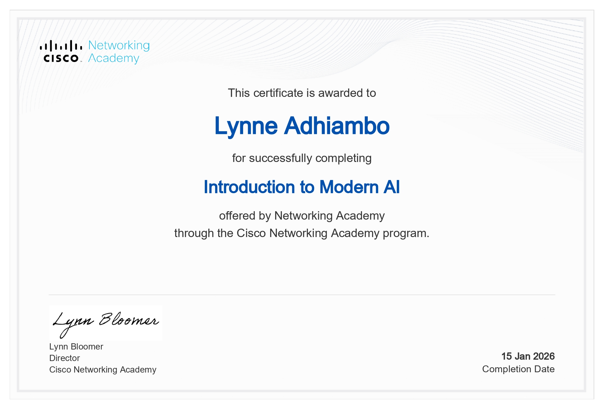
introduction to modern AI

Certification 2

QA_QE Certification

Certification 3

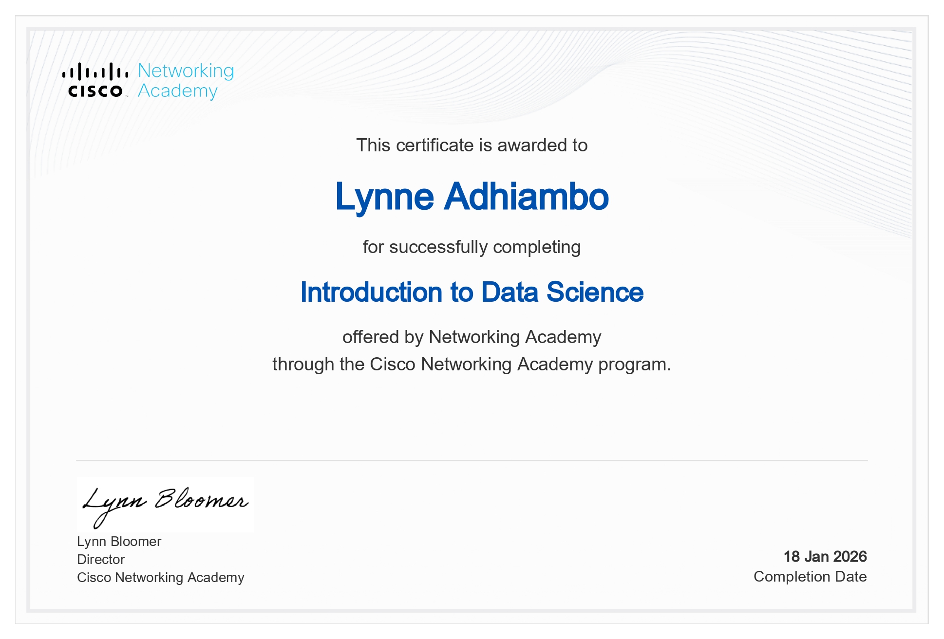
Introduction to Data Science

START A CONVERSATION

Direct Contact

oumalynne2003@gmail.com
+254 703 622 733

Online Presence

Let's build something extraordinary together.